Legend
Click each legend item to turn layer on / off.
Click each legend item to turn layer on / off.


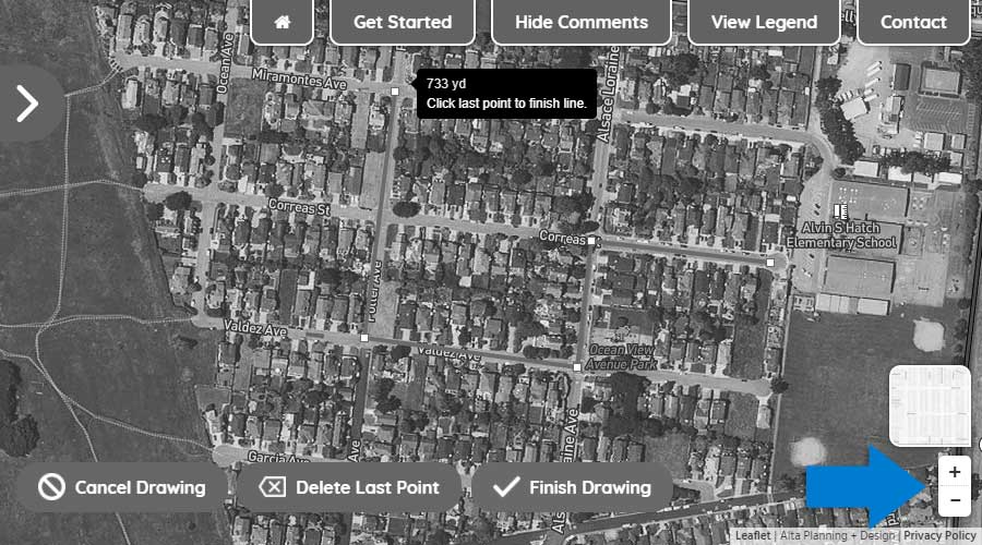
Step One: Using your mouse or touchscreen, left click on or touch the map to show where you begin your trip.
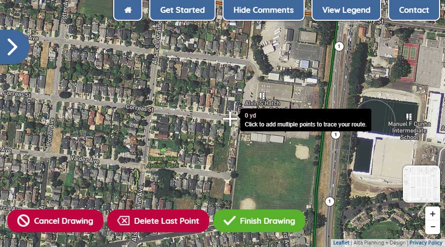
Step Two: With the first point drawn, continue by left-clicking or touching the map to show where you turn along your route.
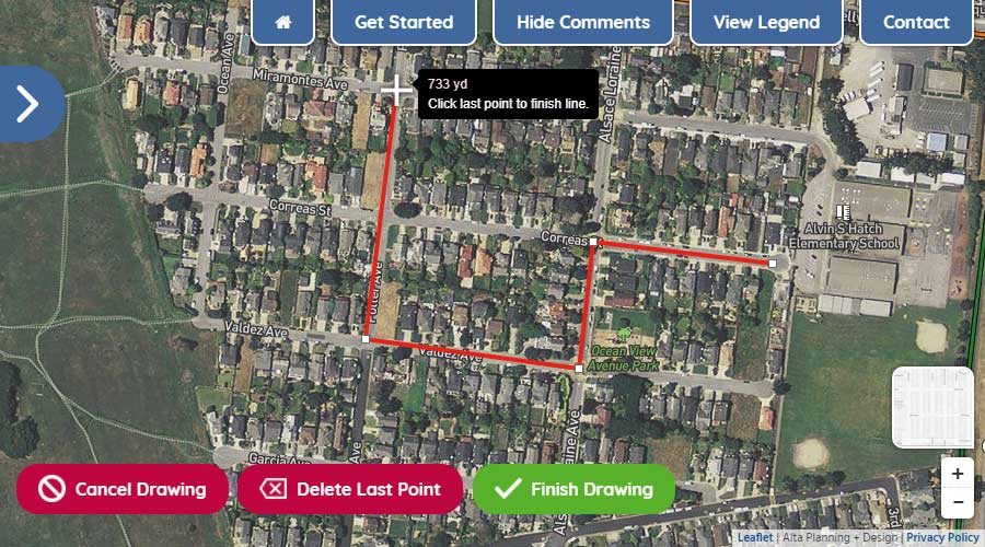
Step Three: To move the map while drawing your route, hold down your left button on your mouse and move the mouse to get to your desired location on the map or simply drag the map with your fingers on your touchscreen. To zoom in and out, use the wheel on your mouse or use the +/- icons in the lower right of your screen.
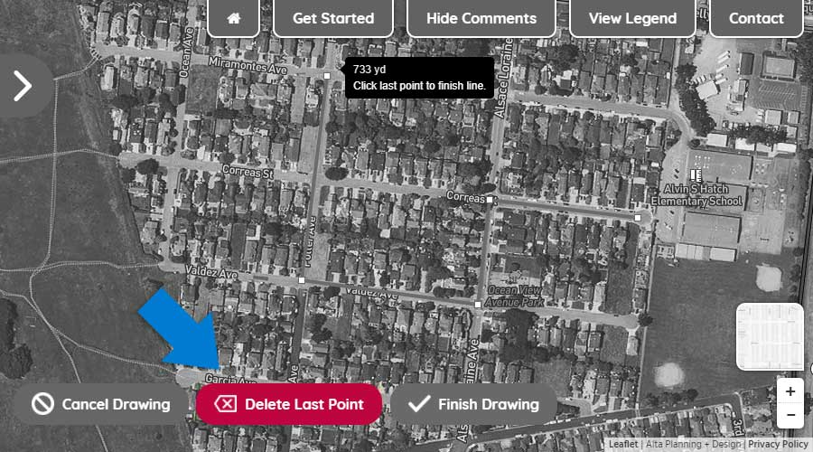
Step Four: To delete the last drawn point on your route, click the "Delete Last Point" button.
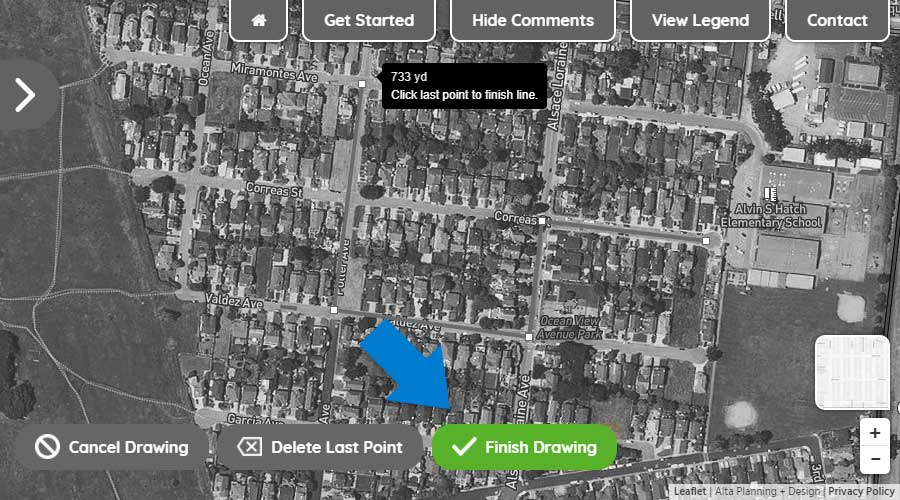
Step Five: To finish drawing your route, double click on the final point or click the "Finish Drawing" button.
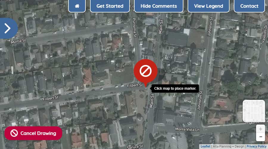
Using your mouse or touchscreen, left click on or touch the map to add a marker to the map.